


Outdoor
Show landscapes, parks, campuses, trails, and recreational areas with the context a ground-level view cannot provide. Aerial maps, stills, video, and immersive captures can explain access, setting, scale, and the visitor experience.
Seeing is Believing
The Essentials


Browser-based, fully interactive virtual walkthrough with customizable navigation.


Exploded 3D model view for immersive, full-space context & orientation at scale.


Top-down, interactive map view for quick room navigation and spatial orientation.


Pin notes, photos, links and product details to any point in the space. Mattertags on Matterport, points of interest on NavVis.


Point-to-point on-screen measurements for planning and orientation inside the tour.
Embed text, images, links, or videos directly within your tour for contextual info.


Passwords, unlisted links, and private models for secure, flexible sharing.


One-line iFrame or MLS-compatible embed code for seamless integration on any site.
Next Gen Toolkits
Matterport 3D Cameras
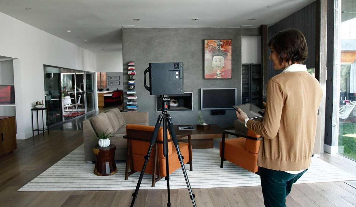
Capture stunning digital twins with fast, accurate LiDAR scanning. Ideal for indoor and outdoor use, delivering high-resolution 3D models with precise spatial detail.
NavVis Laser Scanners
Capture large spaces with speed and precision using advanced SLAM technology. Ideal for indoor mapping, NavVis delivers high-quality, georeferenced 3D scans on the go.
And More
Our toolkit goes far beyond Matterport and NavVis. We continuously add cutting-edge capture devices and software to ensure no detail is missed.
Global Coverage
Can outdoor areas be captured?
Yes. The Matterport Pro3 captures outdoors, and a drone capture adds aerial photos, video, and mapping for larger grounds. Weather and daylight affect scheduling, so outdoor visits are confirmed close to the date.
Why should I scan with Virtual Space?
Virtual Space removes the guesswork from 3D capture by delivering standardized, professional Matterport scans built for long-term use. We don’t just create digital twins - we manage them using proven workflows that maximize accuracy, usability, and ROI over time.
Can I capture both interior and exterior conditions?
Yes. Full property capture is available, including exterior areas.
Do you offer multi-site scanning?
Yes. Multi-site scanning is one of our core capabilities. From single locations to large national portfolios, VirtualSpace is structured to deliver consistent Matterport captures across cities, regions, and countries using trained Spatialists and centralized quality control.
How should I prepare my space?
Prepare your space by unlocking access points, removing unwanted items, and scheduling during a low-traffic time. The camera captures everything within line of sight, so any visible objects or people may appear in the final digital twin.
How do I share a Virtual Space?
Each Matterport space is delivered with a secure shareable link. You can send the link via email, text, or messaging apps, or post it on websites and social platforms. Anyone with the link can view the space instantly on any device.