


Harness space age technology
The hardware behind every Space
Twenty professional scanners, cameras and drones from six manufacturers. Your Spatialist brings the right one for the brief — tripod LiDAR for survey accuracy, mobile LiDAR for big sites, Matterport for the tours people explore, drones for everything above the roofline.
The fleet
Every tool on a capture
Grouped by how they capture. Filter by manufacturer, open a device for its specs, gallery and the services that use it.
Tripod LiDAR
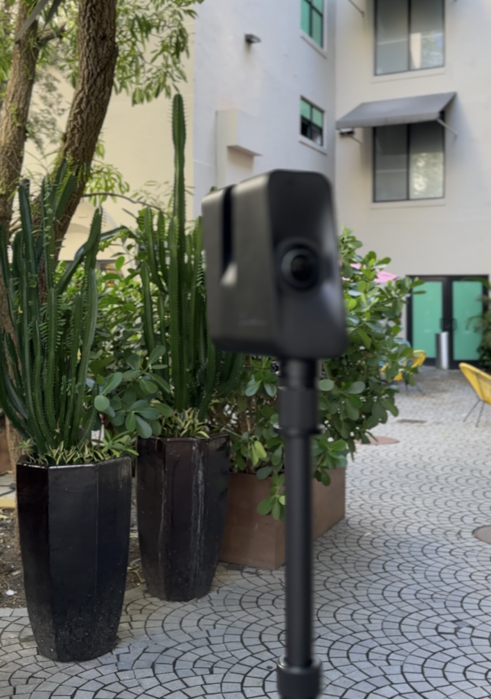
Matterport Pro3
Ultra-fast LiDAR and 20MP HDR imaging in one sweep. Pro3 captures interiors and exteriors as hosted 3D tours with dollhouse, floorplan, and walkthrough views — the format buyers and stakeholders actually explore.
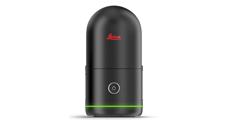
Leica BLK360 G3
Compact imaging laser scanner for station-based interior and plant capture. Set the tripod, scan, and move to the next setup.
Leica BLK360 G2
Compact imaging laser scanner for station-based interiors. A small-footprint tripod workflow when handheld mapping is not the brief.
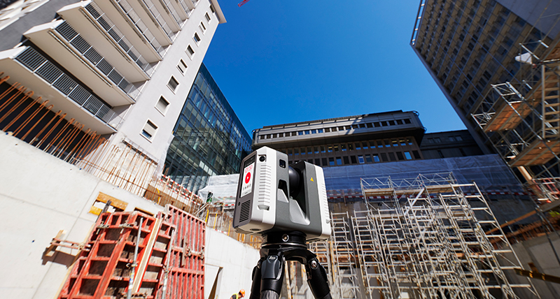
Leica RTC360
High-speed terrestrial laser scanner for buildings and sites that need dense, survey-controlled clouds from tripod stations.
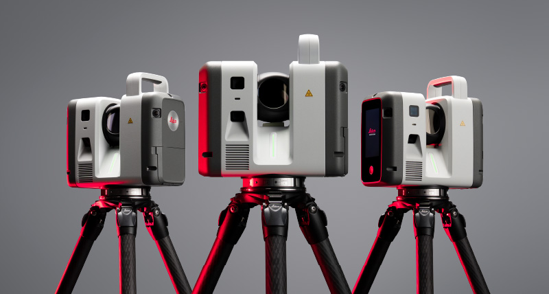
Leica RTC700
High-speed terrestrial laser scanner for large buildings and civil sites when station-based density and range both matter.
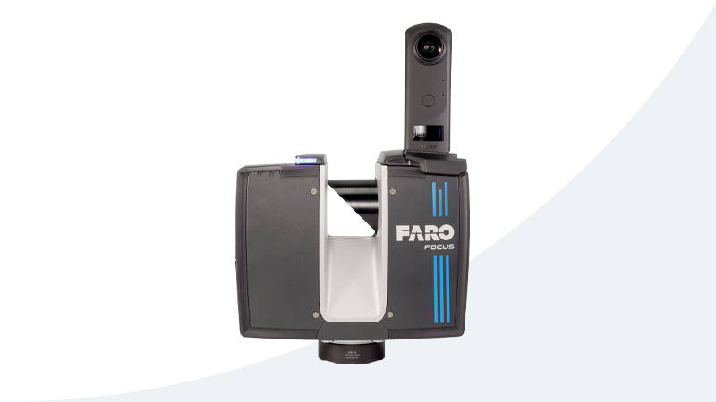
Faro Focus Premium
Terrestrial laser scanner for architecture, engineering, and plant. Tripod stations with the range and density those jobs specify.
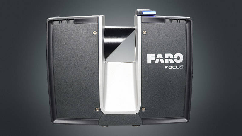
Faro Focus Core
Terrestrial laser scanner for interiors and mid-size sites. A focused tripod workflow when Premium range is more than the brief needs.
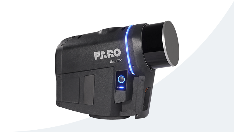
Faro Blink
Rapid-capture laser scanner for interiors that need a measured cloud without a long station setup. Fast to place, scan, and move on.
Mobile LiDAR
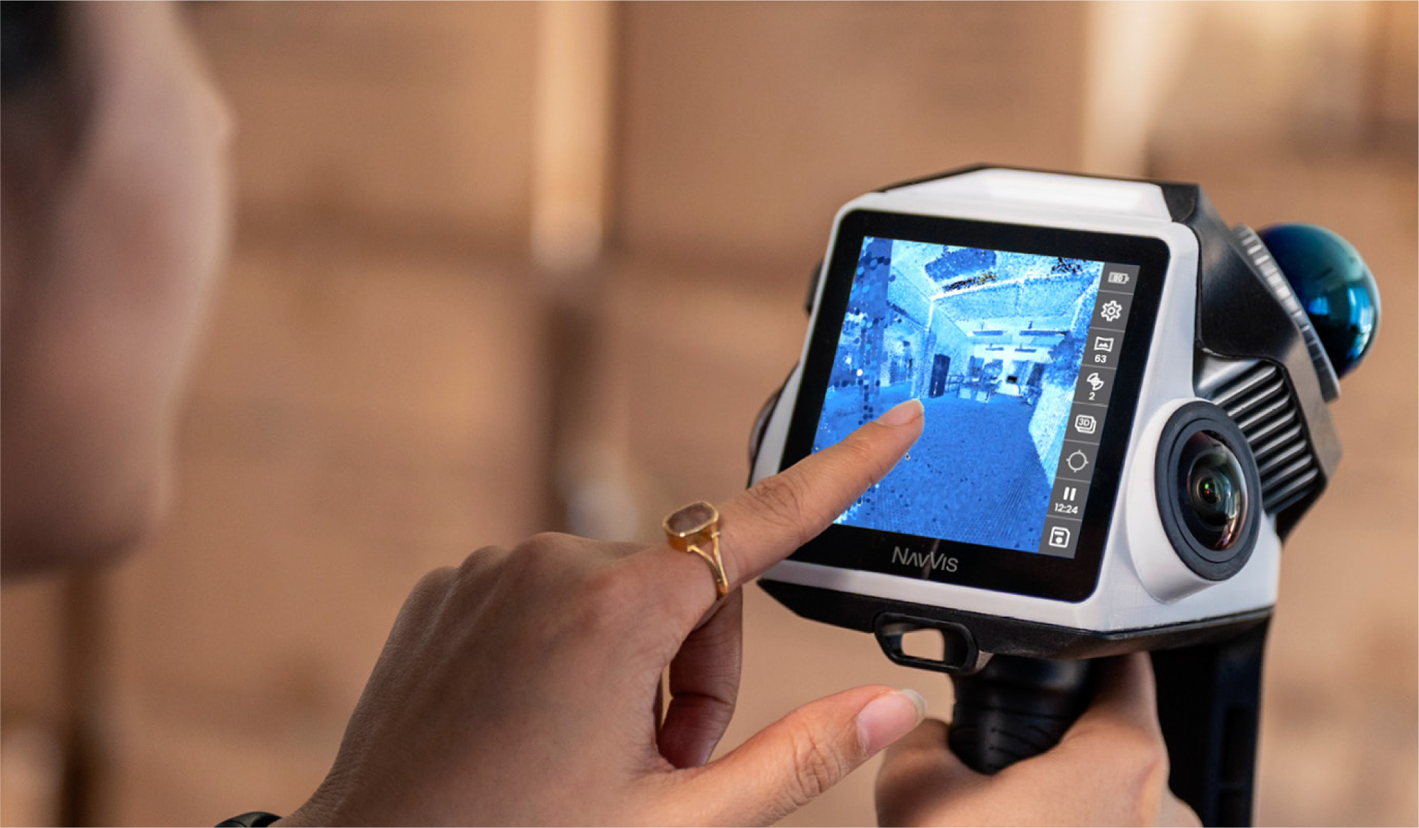
NavVis CLX
Handheld dual-LiDAR for everyday indoor documentation. Walk rooms and corridors, confirm coverage on the device, and deliver an E57 point cloud for LOD200 CAD and BIM — without a wearable kit on every visit.
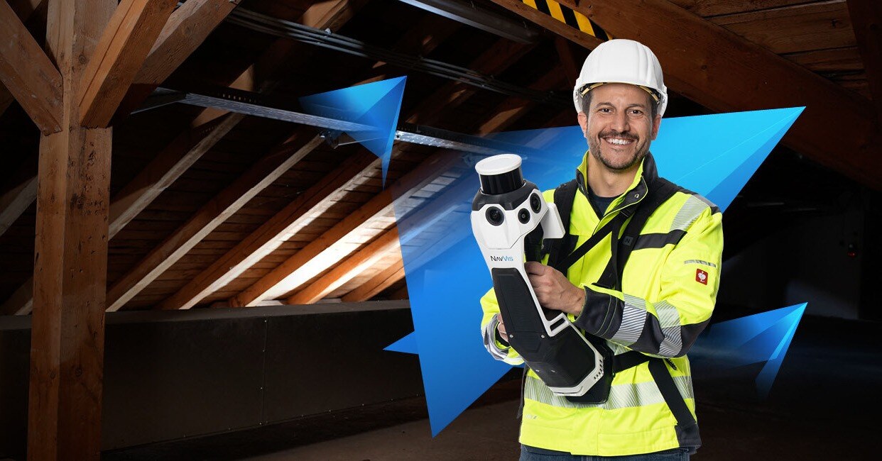
NavVis MLX
Survey-grade handheld LiDAR for indoor and mixed indoor-outdoor capture. Walk the space and publish a measured digital twin without a tripod at every station. Delivers an E57 point cloud ready for BIM, CAD, and as-built documentation.
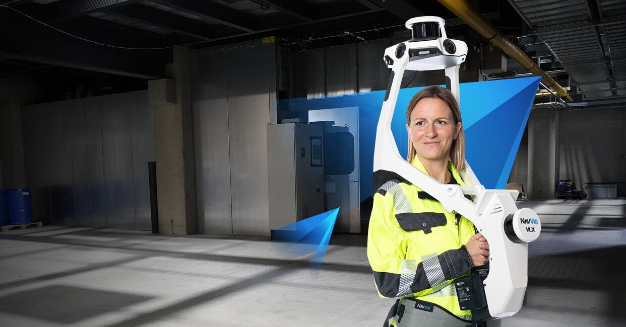
NavVis VLX3
Wearable mobile mapping for multi-floor buildings and long indoor routes. Capture as you walk, then deliver a measured E57 point cloud at building scale for BIM, CAD, and as-built work.
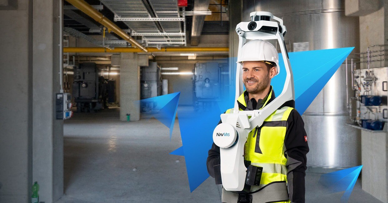
NavVis VLX2
Wearable mobile mapping for large interiors when a tripod scan would take too long. Walk the floors and keep survey control in an E57 point cloud for BIM and as-built work.
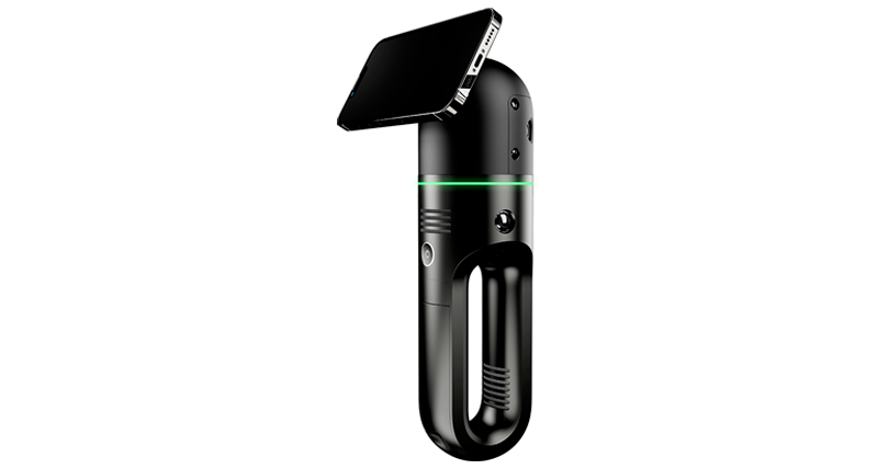
Leica BLK2GO Pulse
Handheld imaging scanner for walking capture in interiors where a tripod would slow the visit. Pulse-ranging for measured walkthroughs.
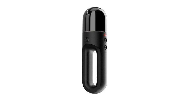
Leica BLK2GO
Handheld imaging laser scanner for walking capture. Keep moving through rooms and corridors instead of resetting a tripod each time.
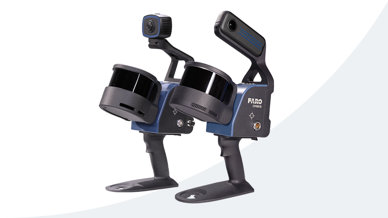
Faro Orbis
Mobile laser scanner for walking capture on sites and interiors. Cover more floor in a visit than a tripod-only workflow allows.
360 Cameras
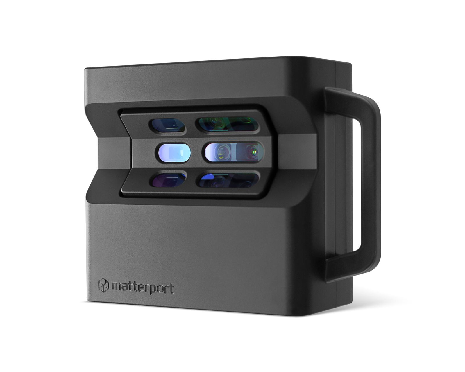
Matterport Pro2
Indoor capture camera for hosted digital twins. Fast to set up on a tripod when the space is enclosed and photography-first.
Drones
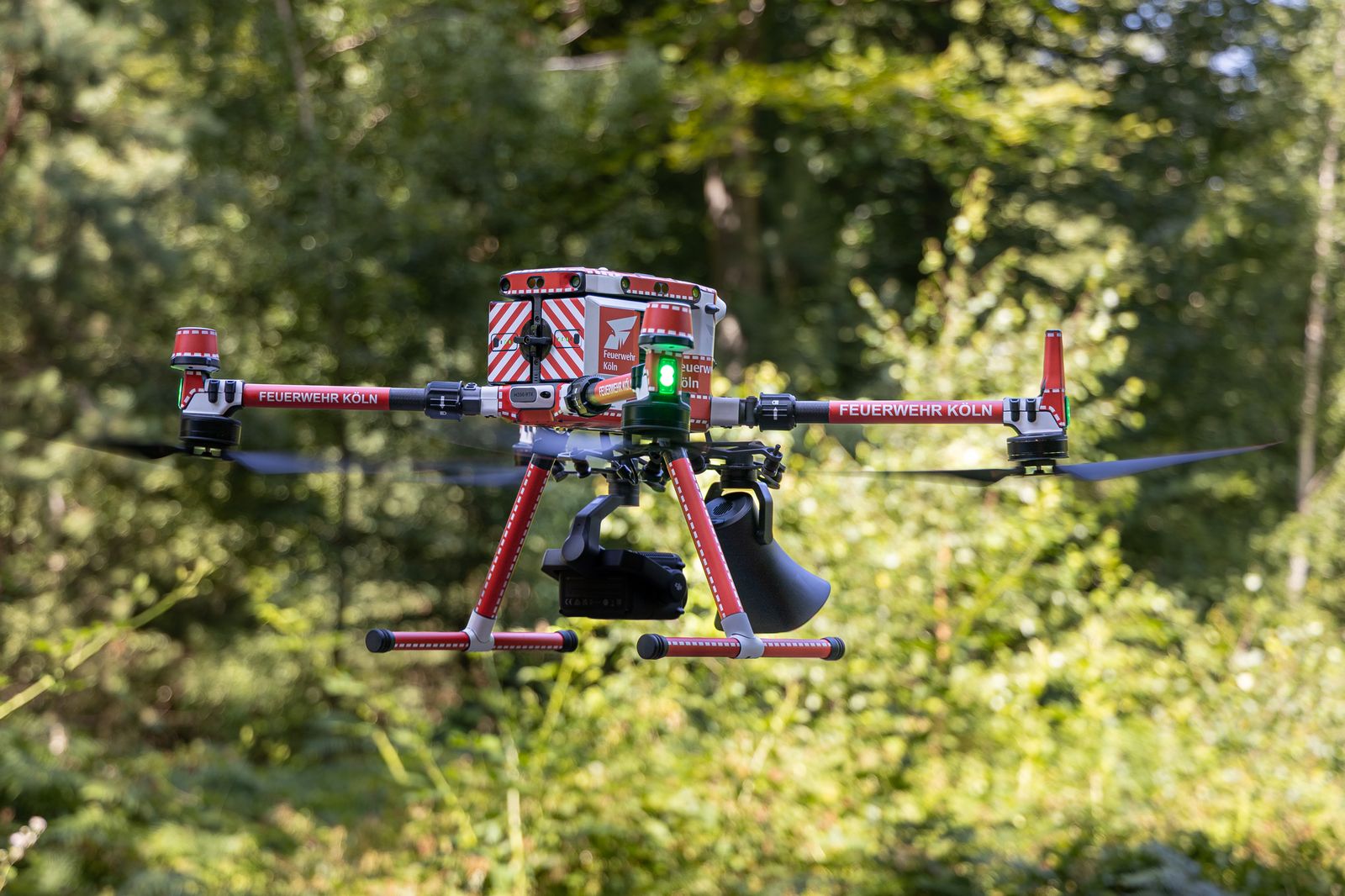
DJI Matrice 350 RTK
Enterprise RTK aircraft for mapping, inspection, and payload work. Built for longer flights and interchangeable sensors on site.
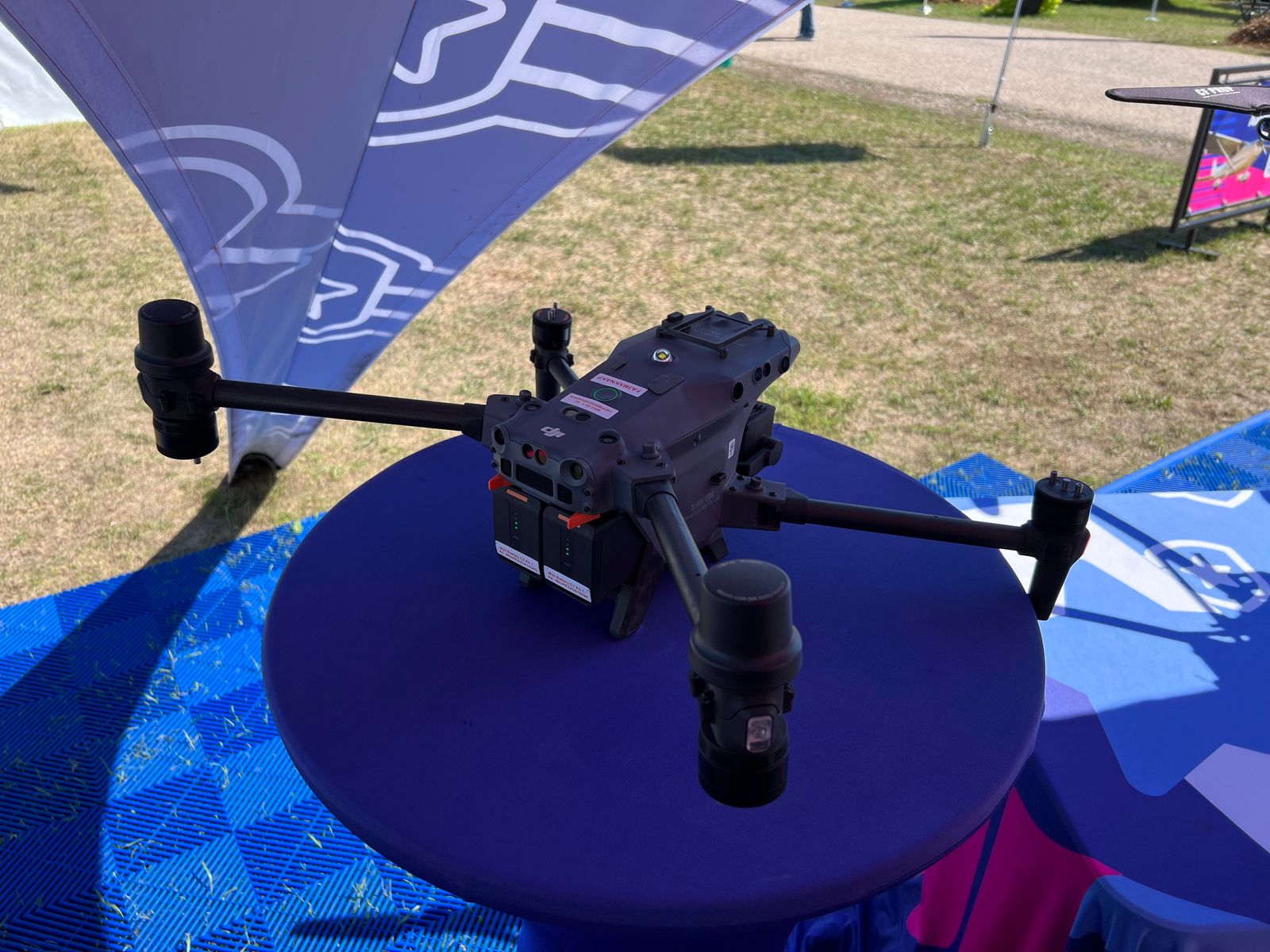
DJI Matrice 30T
Enterprise aircraft with thermal and zoom for inspection and public-safety briefs. Fly the site and deliver photo, video, and thermal together.
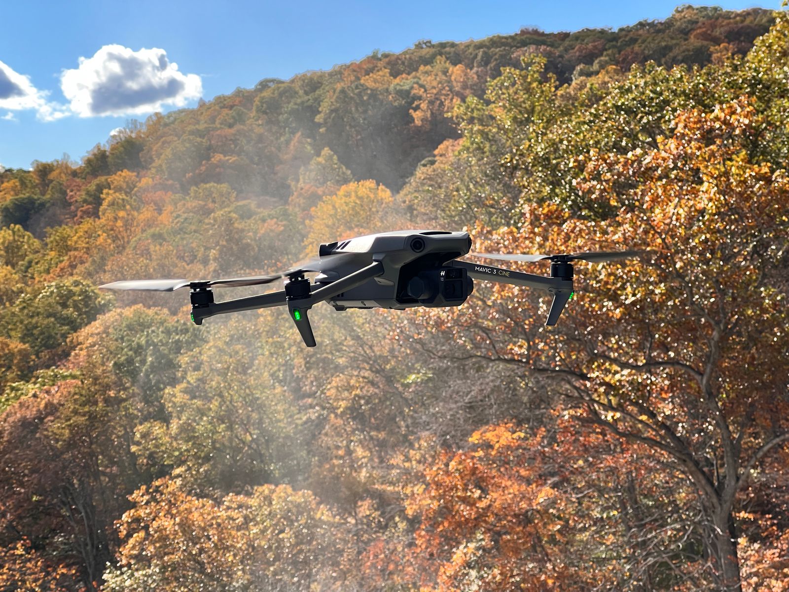
DJI Mavic 3 Enterprise
Portable enterprise drone for mapping and inspection when a full Matrice kit is more than the visit needs. RTK-ready in a smaller pack.
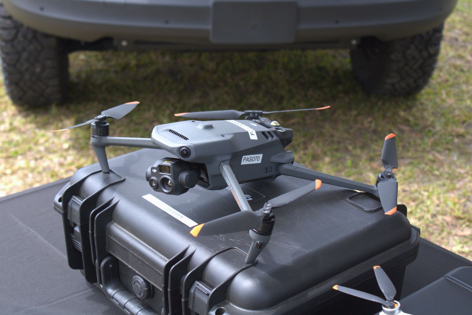
DJI Mavic 3T
Portable enterprise drone with thermal for inspection and roof work. Small enough to carry in, with the sensors those briefs need.
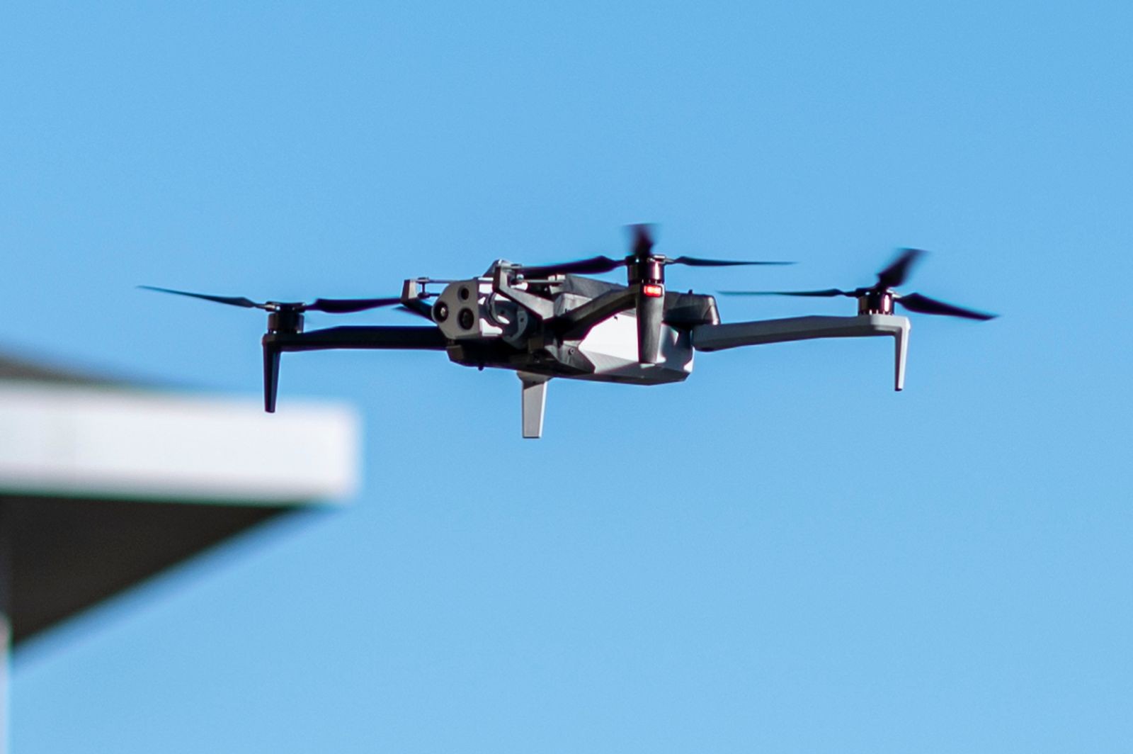
Skydio X10
Autonomous enterprise drone for close-in inspection around structures. Obstacle avoidance that can fly the asset, not only the open sky.