





VIRTUALSPACE
VirtualSpace captures, upgrades, and hosts digital twins with a global team of Spatialists. From a single site to nationwide portfolios.










Spatial Team

Basm Mohsen
Drives overall strategy and ensures your experience aligns with the highest level of service.

Alyssa Tirrito
Oversees your project at a high level to ensure efficient execution across all locations.

George Koroxenidis
Builds and maintains the technology powering your project experience and deliverables.

Islam Mohamed
Oversees field operations to ensure your scan data is precise and reliable.

Omar Mohsen
Supports your project execution by managing timelines, logistics, and day-to-day coordination.

Deanna Rahman
Organizes your project data and deliverables to ensure everything is structured and easy to access.

Sameh Mohsen
Your main point of contact ensuring your project is scheduled, coordinated, and delivered on time.

Jorge Montalvo
Leads on-site scanning to ensure your spaces are captured accurately and to the highest standard.

Summer Abdelmottlib
Manages your billing, invoices, and financial details for a smooth and transparent process.

Abdel Shedid
Ensures consistent scan quality across your locations through hands-on field leadership.
Matterport® & NavVis® 3D Scanning Services — Digital Twins, As‑Builts & Scan‑to‑BIM
VirtualSpace delivers enterprise‑grade reality capture across the U.S. and Canada. Our Spatialists use Matterport Pro3 and NavVis VLX mobile mapping to produce accurate Digital Twins, point clouds, and scan‑to‑BIM deliverables for AEC, real estate, retail, and facilities teams. From single properties to nationwide portfolios, we design the right capture workflow—Matterport, NavVis, or hybrid—to hit your accuracy, timeline, and budget targets.
Why teams choose VirtualSpace for Matterport & NavVis scanning
- Fast turnaround with optimized scheduling and a proven multi‑site rollout playbook.
- Accurate 3D Digital Twins & point clouds for measurements, coordination, and stakeholder buy‑in.
- Platform fit for purpose: Matterport for immersive tours and rapid documentation; NavVis for large, complex, or industrial sites needing high‑density mobile LiDAR.
- Scan‑to‑BIM & as‑built workflows (Revit/IFC/E57/OBJ) aligned to scope and LOD requirements.
- Customized solutions by industry: construction & design, property marketing, facilities & asset management, insurance, and more.
- Transparent project tracking via our Space Manager™ portal—requests, scheduling, status, and deliverables in one place.
- National coverage with vetted Spatialists across the U.S., Canada, and beyond.
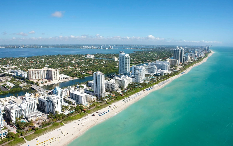
Capturing Globally

8605 Santa Monica Blvd PMB 631076,
West Hollywood, CA 90069

It's Not Rocket Science
Get Started
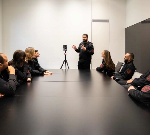
We review your project goals, details, and timelines, then help you choose the right scan type and optional upgrades.
Arrange Access
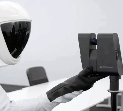
A certified Spatialist captures your space with Matterport or NavVis for as-builts, documentation, or immersive 3D tours.
Processing & Modeling
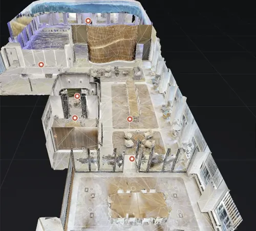
Your space is transformed into a high-resolution digital twin, reviewed for accuracy and prepared for delivery.
Delivery & Hosting
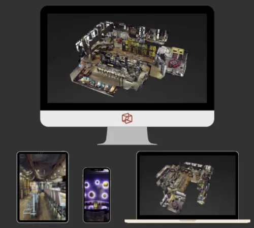
We provide your finished 3D model, ready to view, share, and manage — plus hosting and support as needed.
Frequent Questions

Why should I scan with Virtual Space?
Virtual Space removes the guesswork from 3D capture by delivering standardized, professional Matterport scans built for long-term use. We don’t just create digital twins - we manage them using proven workflows that maximize accuracy, usability, and ROI over time.
Why are hosting fees required?
Hosting fees support secure cloud storage and real-time streaming of your 3D models. This allows large Matterport spaces to load instantly without downloads, while ensuring reliability, performance, and data security through enterprise-grade infrastructure.
How do I embed a space on my website?
Matterport spaces can be embedded directly into your website using a simple embed code, similar to a YouTube video. This allows visitors to explore your space seamlessly without leaving your site.
Do you offer multi-site scanning?
Yes. Multi-site scanning is one of our core capabilities. From single locations to large national portfolios, VirtualSpace is structured to deliver consistent Matterport captures across cities, regions, and countries using trained Spatialists and centralized quality control.
How long does it take to process a scan?
Processing typically takes 24–72 hours, during which imagery and spatial data are merged into a complete digital twin. Larger or more complex spaces may take longer, but most projects are delivered within a few days of capture.
How much does a scan cost?
Pricing starts at $360 for spaces up to 3,000 square feet. Final cost depends on size, scope, and use case. For an accurate quote, VirtualSpace provides fast, personalized proposals tailored to your project or portfolio.
How long does a scan take?
On average, a Spatialist captures about 3,000 square feet per hour, with up to 30,000 square feet per day per technician. Capture time varies based on layout, access, and use case, and larger properties can be completed faster by deploying multiple Spatialists
How do I share a Virtual Space?
Each Matterport space is delivered with a secure shareable link. You can send the link via email, text, or messaging apps, or post it on websites and social platforms. Anyone with the link can view the space instantly on any device.