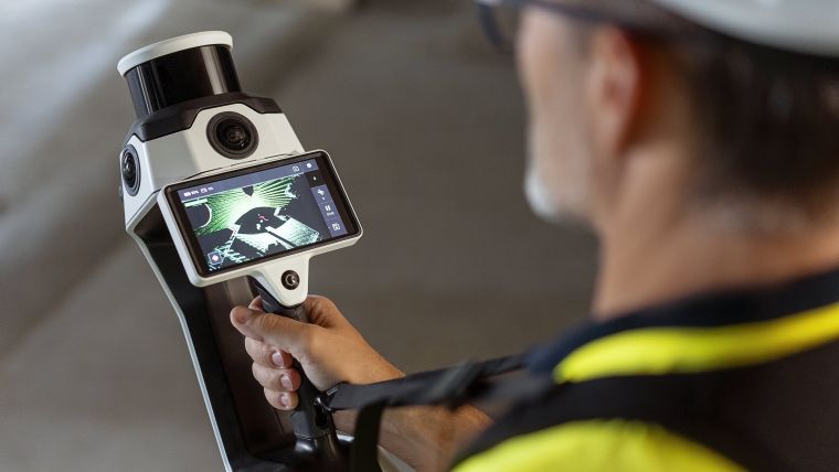


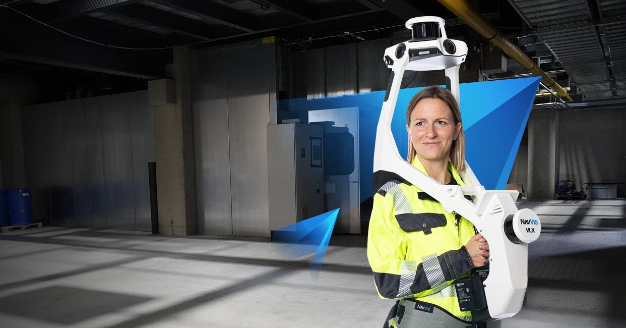
Wearable mapping
NavVis VLX3
scroll
SEEING IS BELIEVING
What this capture includes

Point Cloud Export E57
Downloadable point cloud data for measurement and modeling.
High Accuracy LiDAR Capture
Advanced LiDAR scanning for precise spatial data across large or complex environments.


Aligned Multi Floor Models
Seamless stitching of multiple floors into a single navigable dataset.
New


BIM Ready Data Exports
Structured outputs prepared for use in BIM and CAD workflows.
New


Colorized Point Cloud Output
Detailed point clouds with color for better visualization and usability.
New


Measured Dimensions
Room measurements aligned with captured scan data.
New
Let's Get Technical
Capture at a glance
| Type | Wearable LiDAR |
|---|---|
| Best for | Multi-floor interiors |
| Output | Measured point cloud |
| Capture | Worn while walking multi-floor routes |
| Delivery | E57 point cloud for BIM and as-built |
| Scale | Multi-floor buildings and long indoor routes |