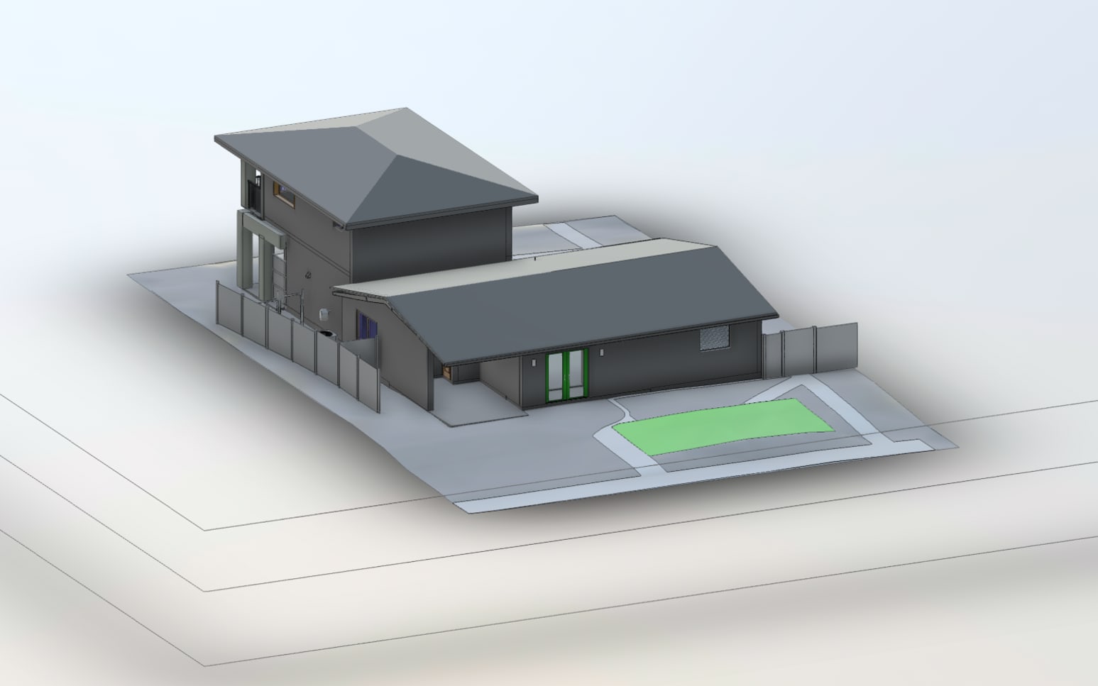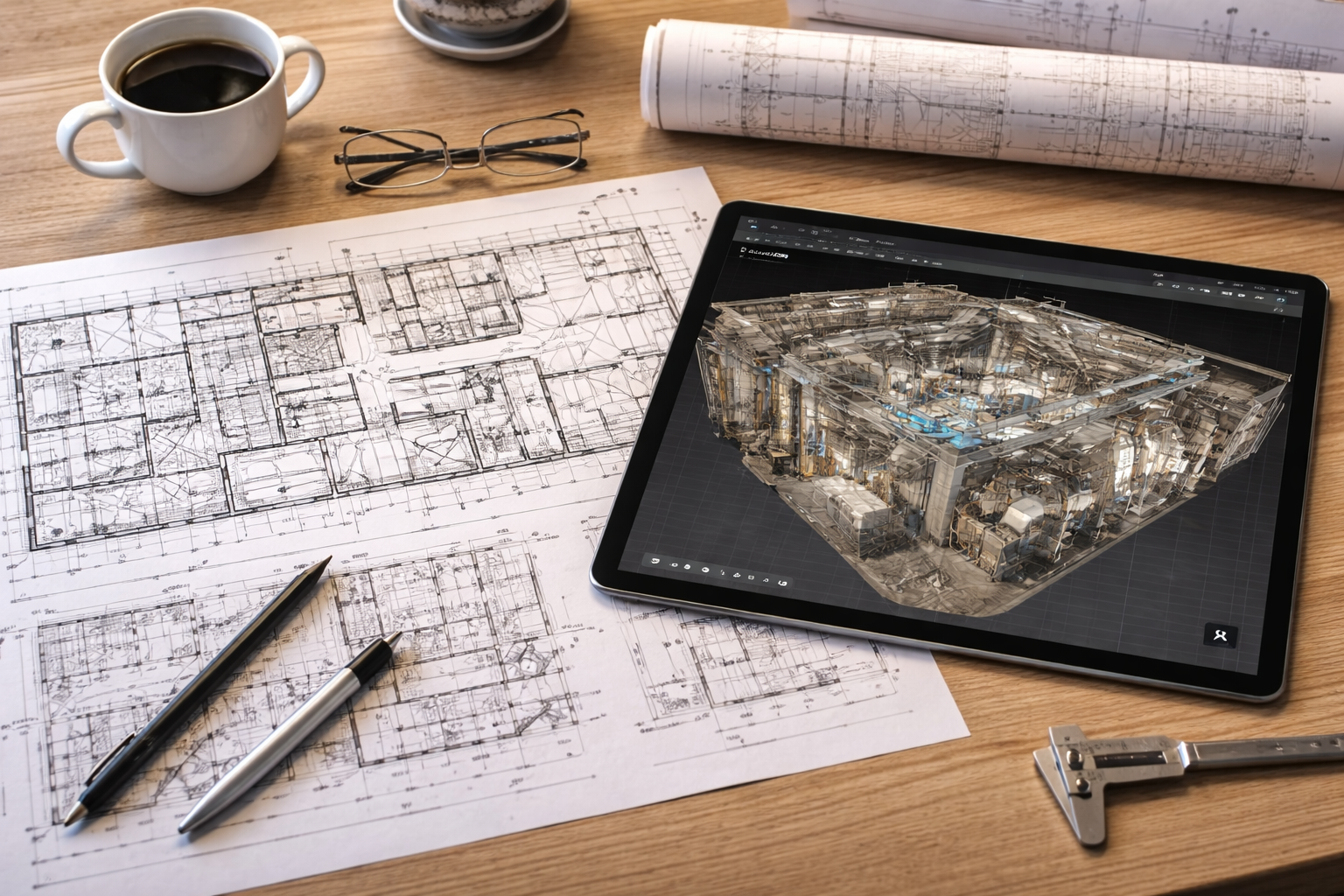


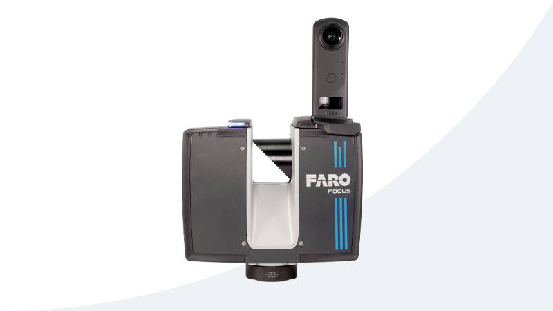
Tripod scanner
Faro Focus Premium
scroll
SEEING IS BELIEVING
What this capture includes

High Accuracy LiDAR Capture
Advanced LiDAR scanning for precise spatial data across large or complex environments.
Point Cloud Export E57
Downloadable point cloud data for measurement and modeling.


BIM Ready Data Exports
Structured outputs prepared for use in BIM and CAD workflows.
New


Colorized Point Cloud Output
Detailed point clouds with color for better visualization and usability.
New


Survey Ready Outputs
Organized data suitable for reporting and decision making.
New


Measured Dimensions
Room measurements aligned with captured scan data.
New
Let's Get Technical
Capture at a glance
| Type | Tripod LiDAR |
|---|---|
| Best for | AEC and plant |
| Output | Survey point cloud |
| Capture | Tripod stations |
| Delivery | Survey point cloud |
| Scale | Architecture, engineering, and plant |
Put it to work