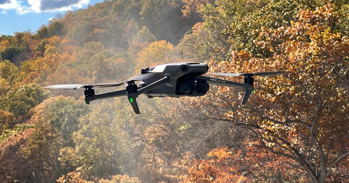


Portable enterprise
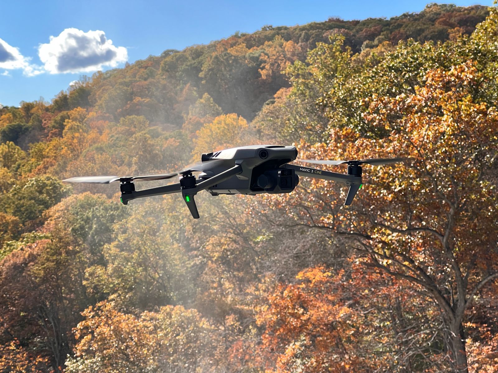
DJI Mavic 3 Enterprise
scroll
SEEING IS BELIEVING
What this capture includes

High Resolution Aerial Mapping
Drone based image capture stitched into a clear detailed site map.
HDR Aerial Photography
High dynamic range images capturing balanced lighting and detail.


Stitched Drone Image Processing
Multiple aerial captures combined into a seamless final output.
New


GPS Aligned Image Data
Georeferenced imagery aligned to real world coordinates.
New


Site Boundary Visualization
Clear outlines of property limits and key site features.
New


Shareable Video Files
Ready to use formats for email websites and social media.
New
Let's Get Technical
Capture at a glance
| Type | Enterprise drone |
|---|---|
| Best for | Portable mapping |
| Output | Aerial data |
| Capture | Portable aerial |
| Delivery | Mapping and inspection data |
| Scale | Visits that do not need a full Matrice kit |
Put it to work